
REALTIME OPERATIONS MODELS
Flaming Gorge Reservoir Realtime Modeling System (2004-Current)
Precision has developed a model for use by the operators of Flaming Gorge Dam on the Green River in the Upper Colorado Basin during the spring runoff season. The tool was developed to achieve highly precise flow targets on the Green River below its confluence with the Yampa River to support recovery of three endangered fish species as mandated by the 2006 Record of Decision for the Operation of Flaming Gorge Dam Final Environmental Impact Statement. The model enables operators to construct hourly release schedules from Flaming Gorge in order to optimally meet these flow recommendations. The model has been used effectively for the purposes intended by Reclamation staff since 2004. The model is being upgraded and re-implemented in 2015.

Aspinal Unit - Gunnison River (2005-2007, 2014-Current)
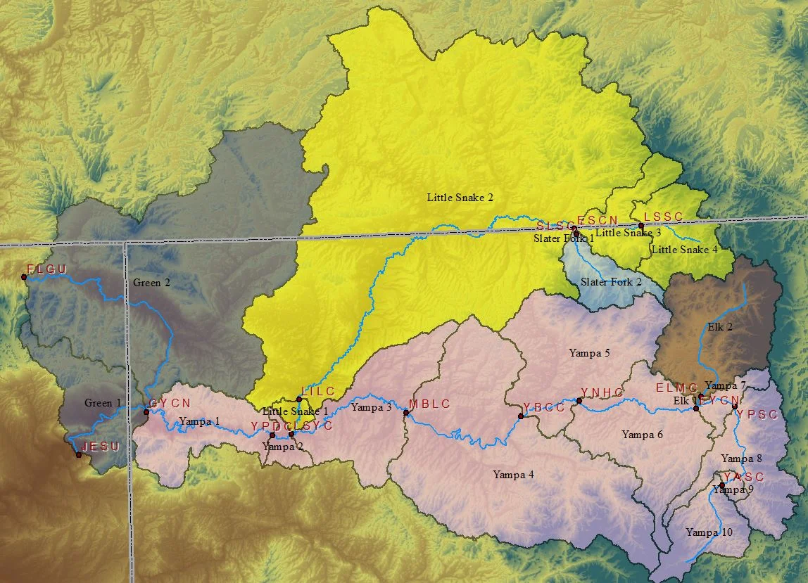
In 2005, Mr. Coors developed a similar model to the Flaming Gorge model above to support pending flow recommendations on the Gunnison River. In April, 2012 Reclamation issued a Record of Decision for the Aspinall Unit Operations Final Environmental Impact Statement, which mandated that highly precise flow targets be maintained below the Aspinal Unit in the Gunnison River all the way to the confluence with the Colorado River. In 2014, Precision was contracted to update the model and provide technology transfer for implementation in the 2015 runoff season.


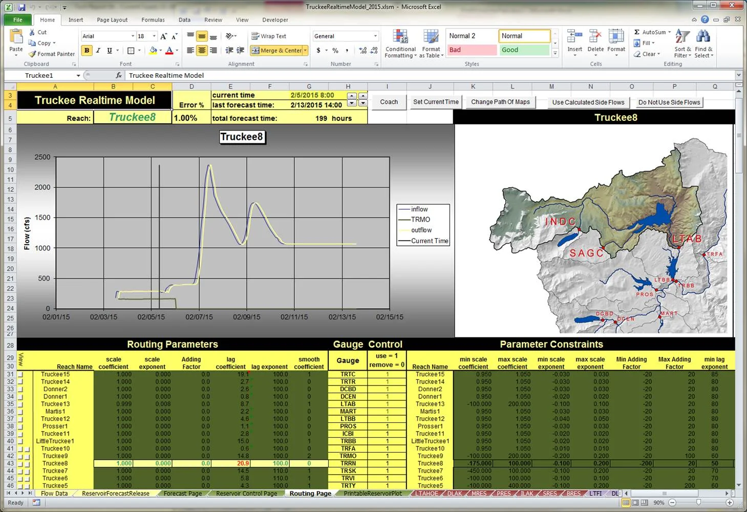
Truckee River Modeling System (2005-Present)
Precision has developed a realtime modeling system for the TruckeeRiver for the Federal Watermaster and USBR. The model is used to support many operational activities on the Truckee River. Currently it is used to manage flooding as well as to fine tune operational changes in order to most efficiently meet the demands and flow targets in the system. This system is used to generate a daily travel time report so that basin stakeholders and the federal watermaster can precisely time release changes, diversion changes, and other activities to increase the efficiency of operations in the basin and save water. The report is updated daily and available on the internet.
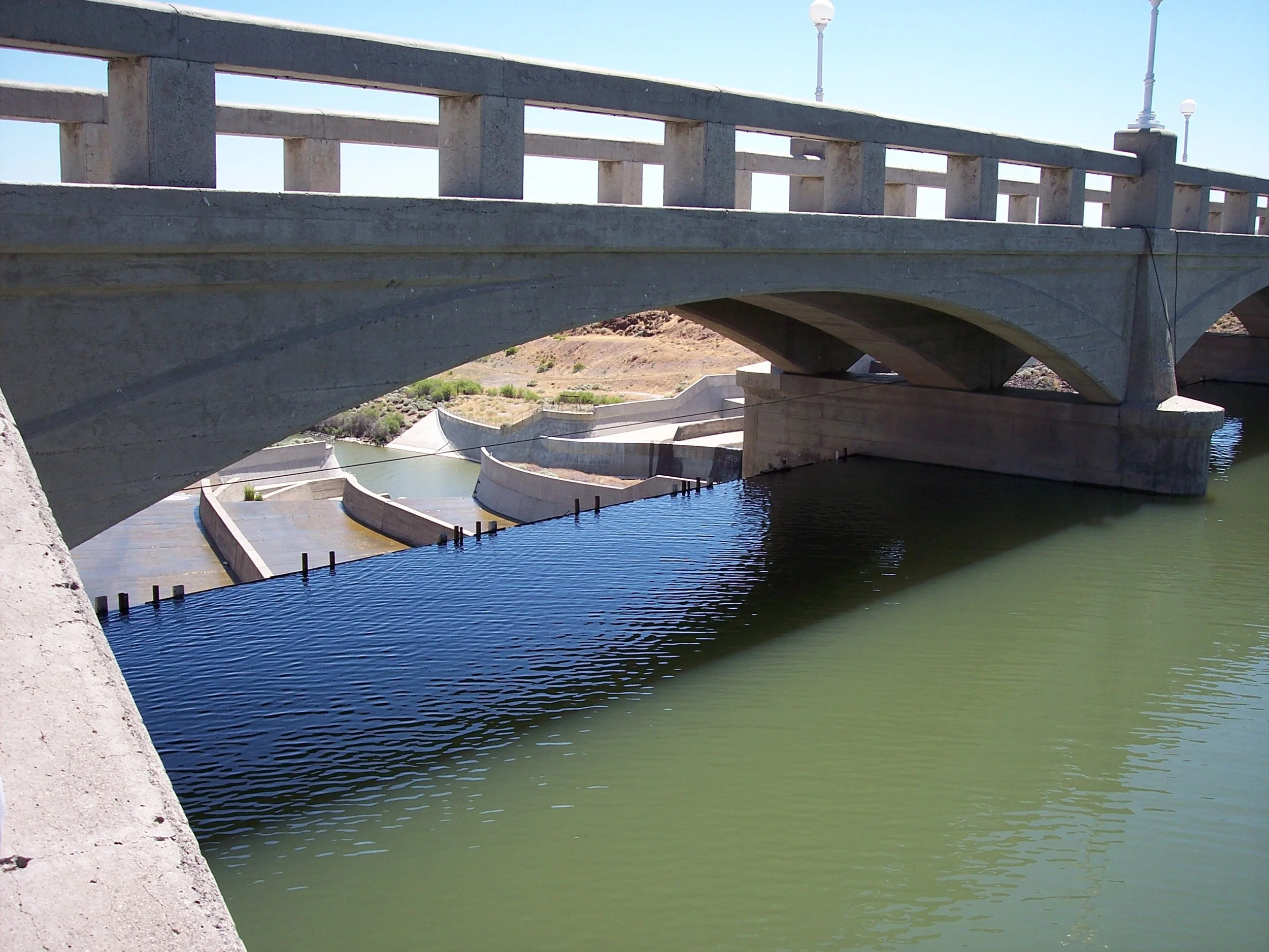
Carson River Modeling System (2005-2008)
Precision has developed a realtime modeling system for the Carson River for the Lahontan Basin Area Office of the Bureau of Reclamation. The model is used to support many operational activities on the Carson River. It was used during 2006 to support the precautionary drawdown of Lahontan Reservoir during the record-setting runoff season. It has also been used on an ongoing basis to support OCAP operations in setting diversion targets for the Truckee Canal.
San Juan River/Navajo Reservoir Realtime Modeling System (2005-2006)
Mr. Coors developed a realtime modeling system to support operations of Navajo Reservoir for meeting the flow recommendations downstream on the San Juan River. Mr. Coors developed the model, calibrated and tested it, and provided technology transfer services to the Western Colorado Area Office of the Bureau of Reclamation.
